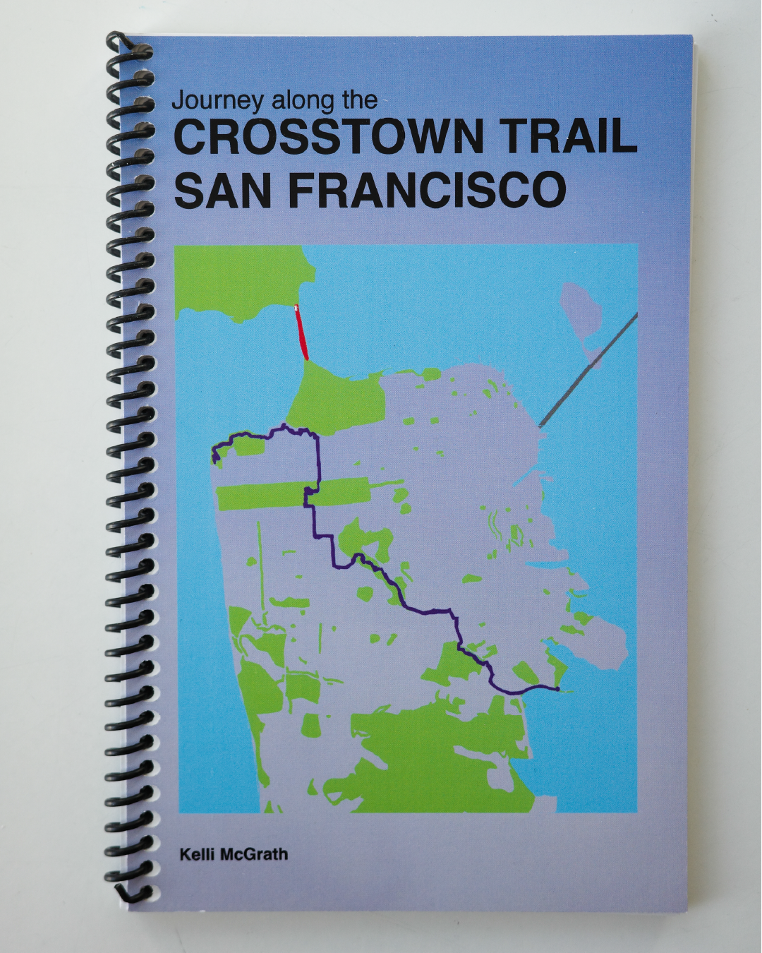
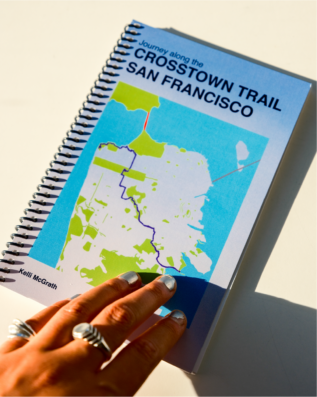
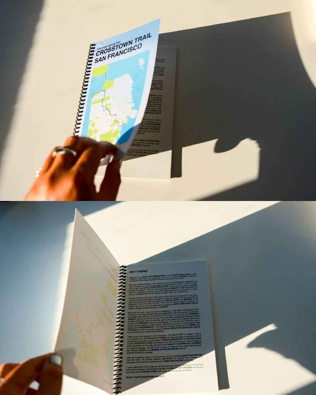
VISUAL DOCUMENTATION of the CROSSTOWN TRAIL in San Fransisco, California! The Crosstown Trail runs just over 17-MILES, starting at Candlestick Point State Recreation Area and ending at Land’s End.
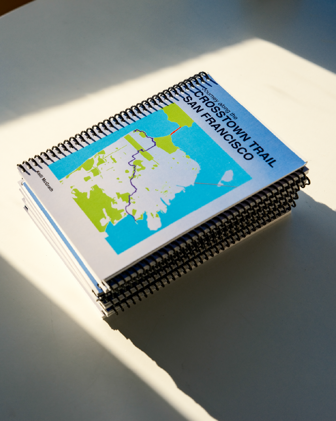
My friend Elliott Childress and I walked the entire trail when he was visiting SF in May. Towards the end of the trail, I shrieked with excitement as I thought to create this booklet. The booklet is comprised of VISUAL MAPS and IMAGERY of the Crosstown Trail, from start to finish.
The intention of this book is that it can be a PHYSICAL OBJECT that you can carry with you along the trail, providing an alternate way to navigate along the trail that limits the use of your phone and hopefully allows you to stay more PRESENT away from technology.
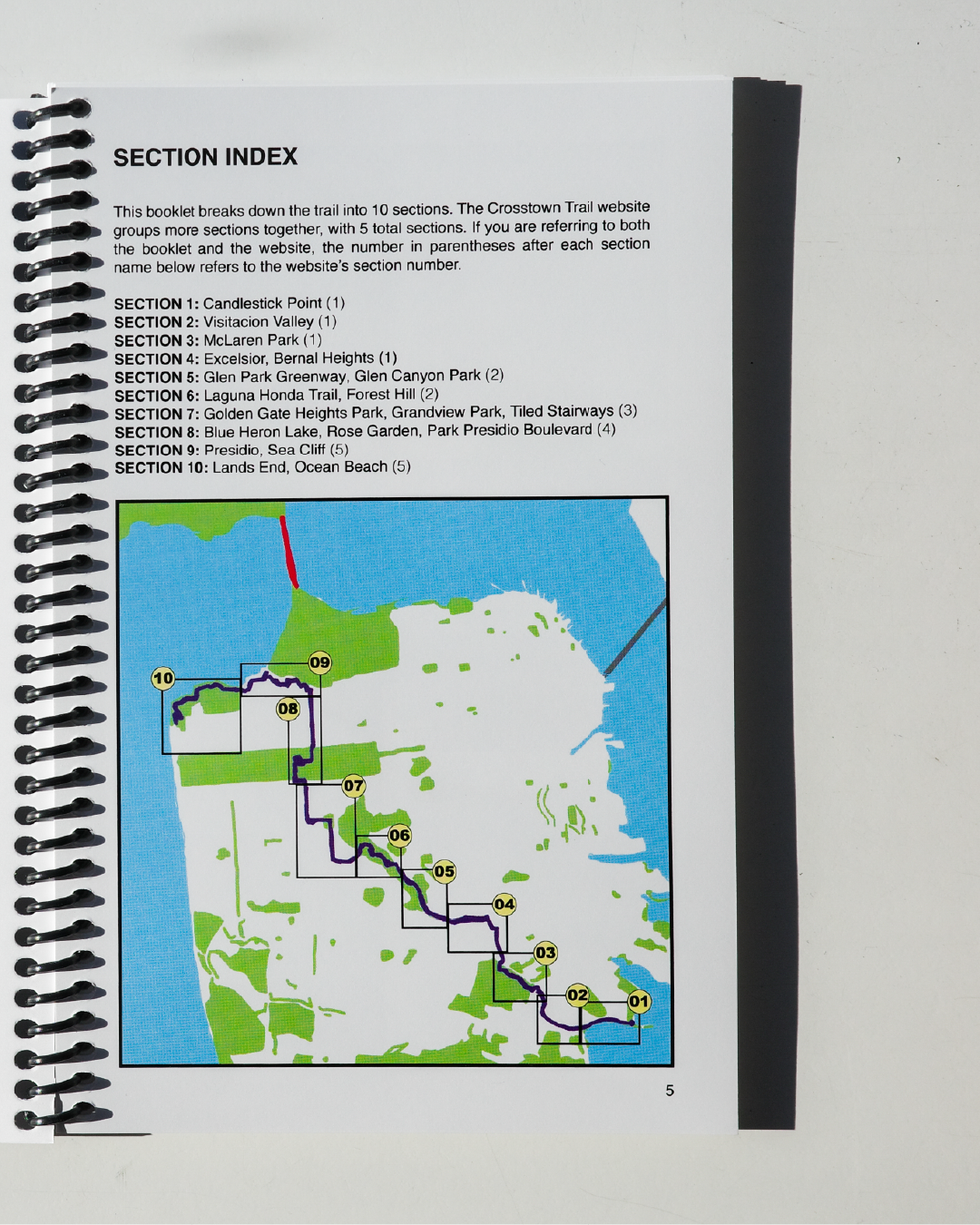
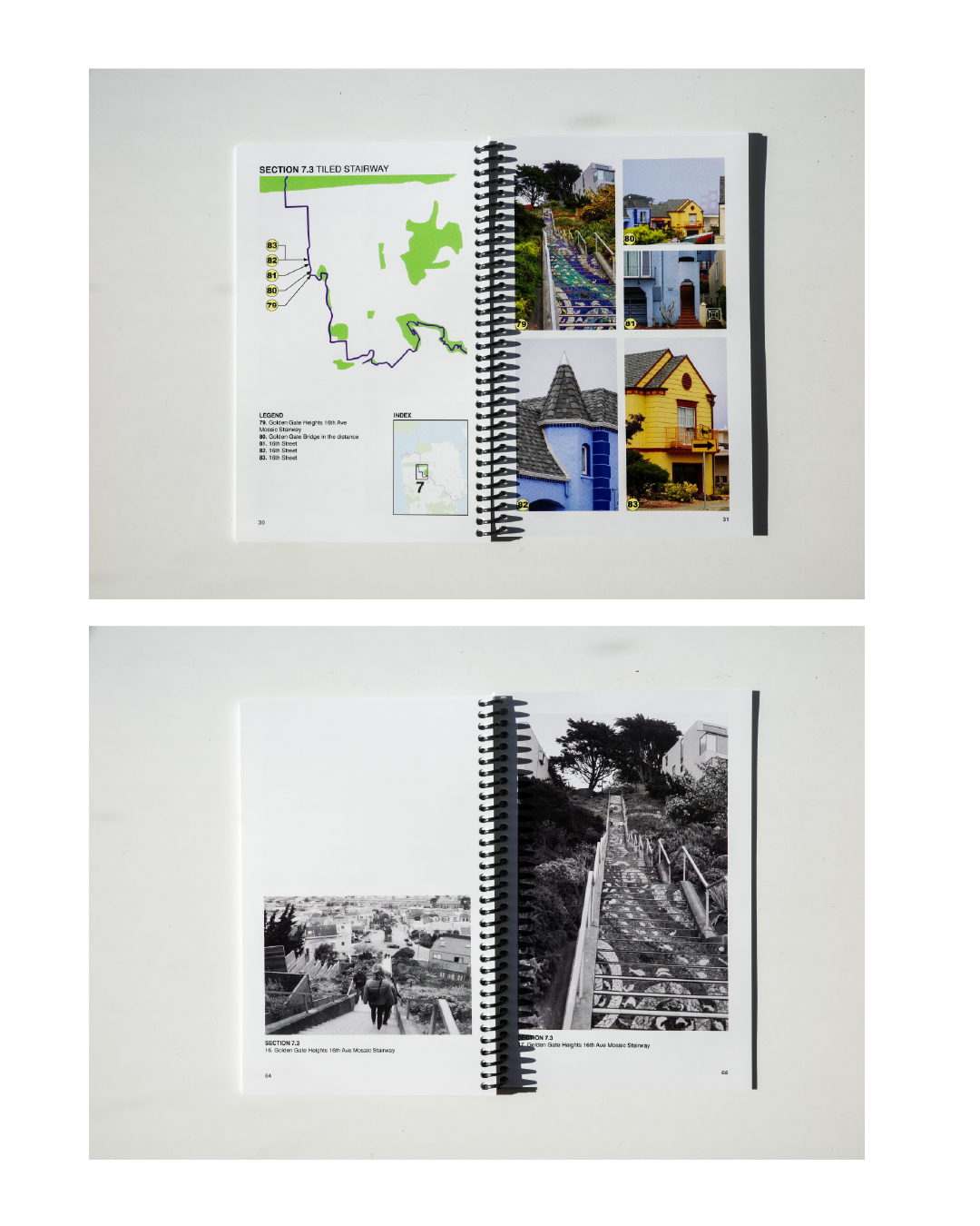
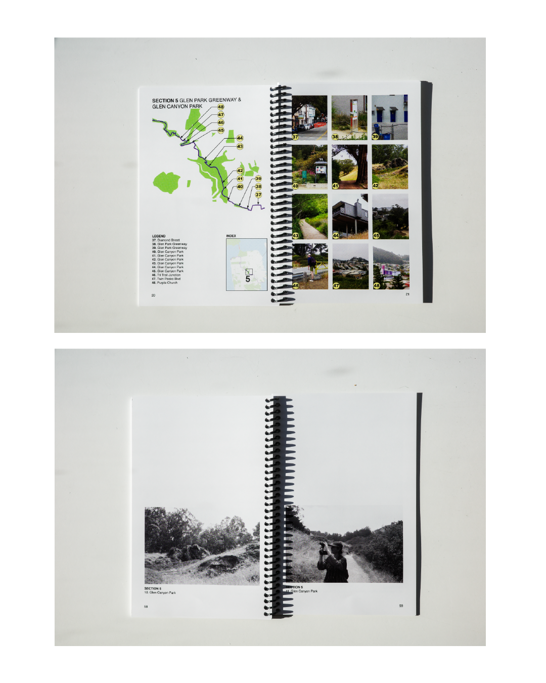
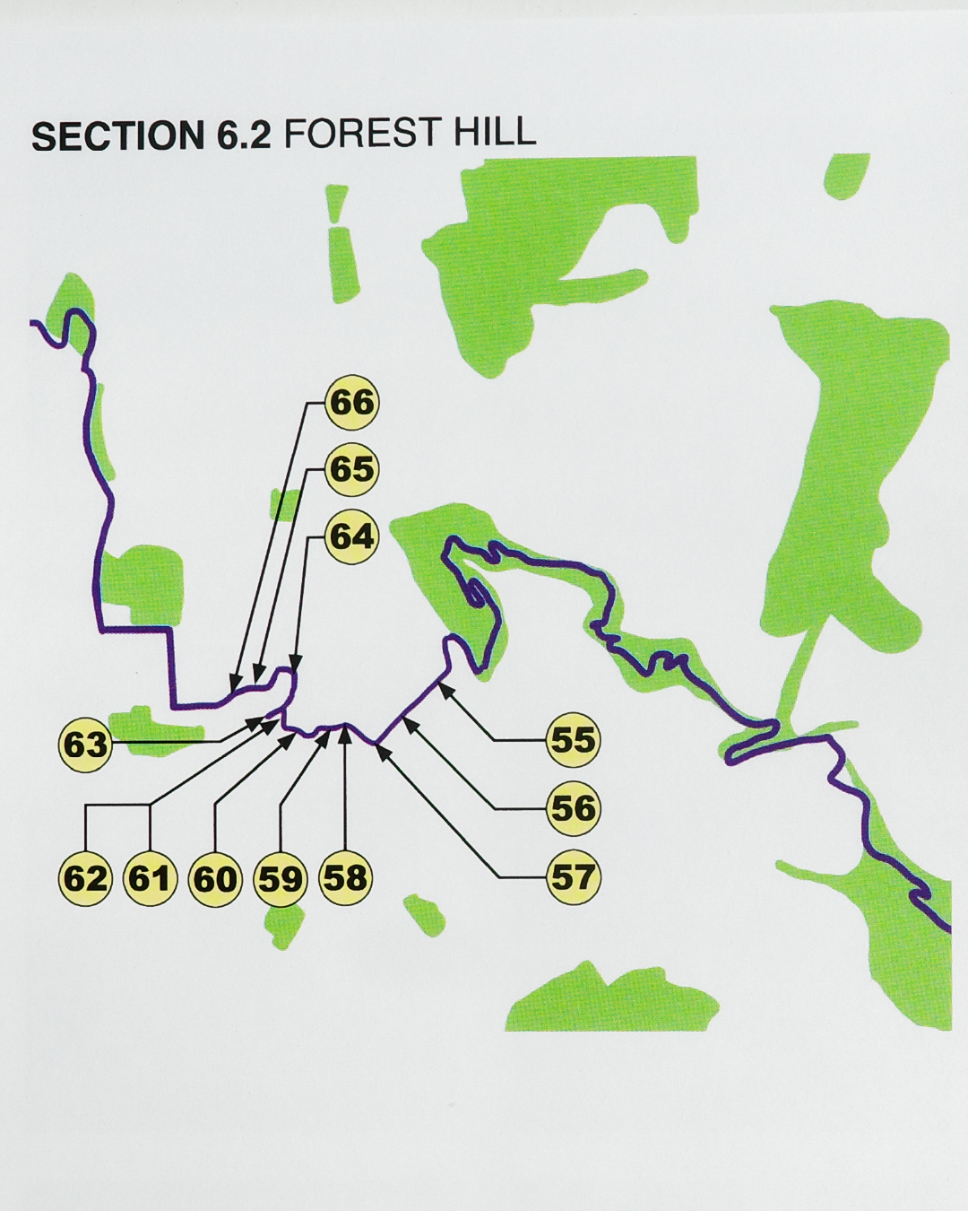
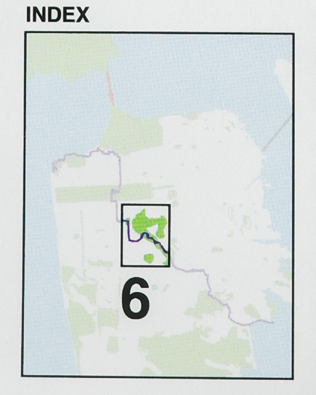
PARKS, GREENWAYS, and STAIRCASES became INTUITIVE CLUES that indicated we were meant to turn. Parks helped us orient ourselves on the map and were the PRIMARY CONTEXTUAL ELEMENT we used to navigate. This led to the creation of diagrammatic maps that focus on the PARKS (GREEN) and BODIES OF WATER (BLUE) with the ROUTE (PURPLE) overlaid.
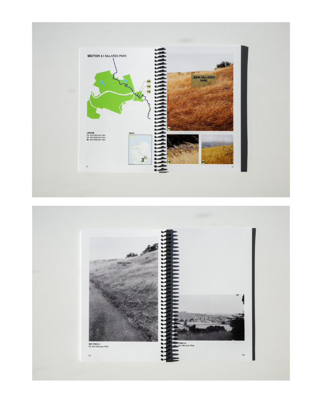
After the navigation section of the booklet, you’ll find Elliott’s B&W FILM PHOTOS from the walk. His photos BALANCE the colorful front section and complete the booklet.Make it stand out.